MAPS OF INTEREST
Click map to enlarge
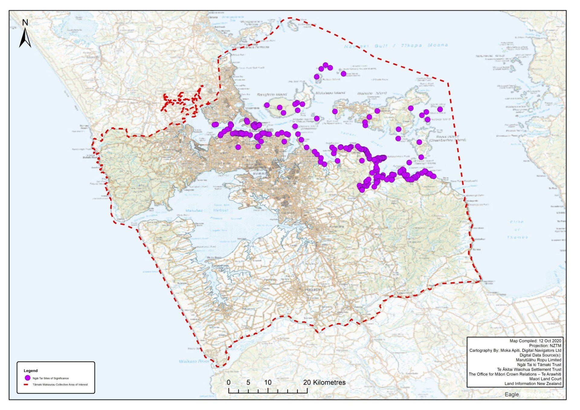
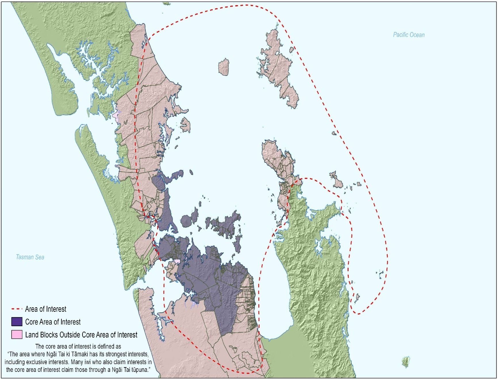
By the eighteenth century, Ngāi Tai had interests from Te Wai-o-Tāiki (Tāmaki River), eastwards beyond the Wairoa River, and inland to Te Ngaherehere-o-Kohukohunui (Hūnua Ranges). Interests included the Tāmaki tōwaka (portage) at Ōtāhuhu and the inner Gulf Islands of Rangitoto, Te Motutapu-a-Taikehu, Te Motu-a-Ihenga (Motuihe), Motukōrea, south and eastern parts of Te Motu Ārai-roa (Waiheke), and the islands to the east and south-east of Waiheke Island: Te Pounui-a-Peretū (Ponui), Taratoroa (Rotoroa), Pakatoa, Pākihi, and Kāramuramu. Southeast of the Wairoa River, Ngāi Tai and adjoining hapū had interests in lands between Mātaitai and Kawakawa Bay, and from Ōrere to Pūkorokoro.
The Hūnua Ranges housed bird catching grounds, rat runs, waterways full of fat tuna and kōura, and rongoā Māori (traditional medicines). The forest served as a wāhi tapu, with trees containing the bones of ancestors, burial caves, and sacred teaching sites marked by seventy Pou Whenua. It was also the home of an ancient hāhi (spiritual belief) known as Tāhere Manu, focused on bird-lore.
Ngāi Tai also had interests on the isthmus west of the Tāmaki River at Taurere (Glendowie), Te Tauoma (Panmure), Maungarei (Mount Wellington) and Maungawhau (MountEden), and from Takapuna on the North Shore as far north as Whangaparāoa, Tiritirimatangi, Mahurangi and Te Arai. South of the Manukau Harbour, Ngāi Tai interests extended from Whātāpaka, Te Karaka and Papakura to Te Awanui-o-Taikehu and Tirikōhua near Tuakau. Hapū of Ngāi Tai maintained a long-standing presence on Aotea and parts of the Hauraki Peninsula, particularly from Moehau in the north to Whangapoua and Waiau, and in the southeast between Whangamatā and Te Ranga-a-Taikehu, near Katikati.
